
About StreetSpark
StreetSpark is a program of Spark Placemaking where we collaborate with municipal officials and neighborhood leaders to reclaim streets, sidewalks, and adjacent public spaces as places for people. Key outcomes of StreetSpark are more sustainable communities and healthier and safer residents.
The Process
First, locations (intersections, streets, public spaces) are identified by neighbors through a community engagement process. Then, we use art, design, and tactical urbanism and placemaking approaches learned through studying national and international best practices to test and implement projects aimed at making communities more livable.
We are teaming up to:
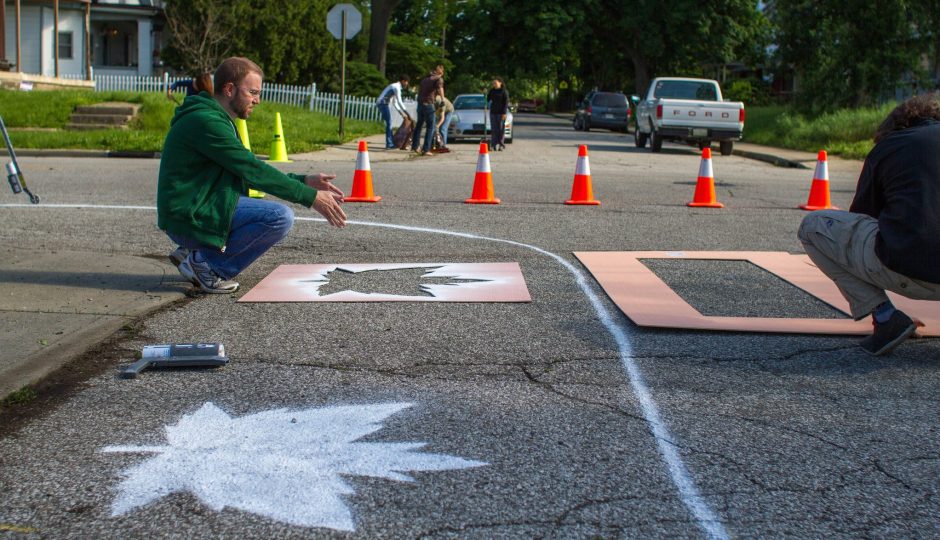
• Test and install lighter, quicker, cheaper infrastructure changes (e.g., bike lanes, painted streets, bump outs, roundabouts) to calm traffic and make walking and cycling more comfortable, safer, and aesthetically pleasing for recreational use and travel to and from work, school, shopping, and other activities. This project includes a collaborative Street Mural and Creative Crosswalks program.
• Create, furnish, and program linger nodes where people spend time together in publicly accessible places (e.g., green spaces, bus stops, sidewalks, streets, alleys). This work includes establishing an official Parklet program that helps businesses and other partners install creative seating areas in spaces used by parking. Some of this work may include more comfortable and aesthetically pleasing bus stops.
• Bring creative and functional bike racks to communities
A big part of our effort for StreetSpark is to emphasize the difference between streets and roads. Streets should be designed and managed for human-scale uses in neighborhood areas where people live, shop, relax, and socialize. Roads are main arterial routes made for moving people from place to place in vehicles. We don’t have a problem with roads, or traffic moving smoothly through the city. But, in many areas, neighborhood streets are currently functioning like roads. As a result, this leads to pockets of blight, isolated poverty, and disconnect from schools, parks, shopping, and our citywide bike and pedestrian trail system.
View photos of street painting here.
Photos from Better Block test in Garfield Park here.
Photos from crosswalk and desire line path on the far East Side of Indianapolis here.
Mapleton Fall Creek Intersection Painting Timeplapses 5/13/16 from Big Car Collaborative on Vimeo.
Service Center pop-up project
About Big Car and Service Center (2 min) from Big Car Collaborative on Vimeo.
Learn more about tactical urbanism with this video:
Tony Garcia Presentation on Tactical Urbanism – Rethink, Reconnect, Reclaim from Big Car Collaborative on Vimeo.
")

